


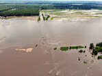


The Missouri River was expected to crest near Blair at about 31.8 feet Thursday afternoon, which is more water than the river took on during the floods of 2019 but more than a foot less than the historic local flooding that happened in 2011, according to National Weather Service data.
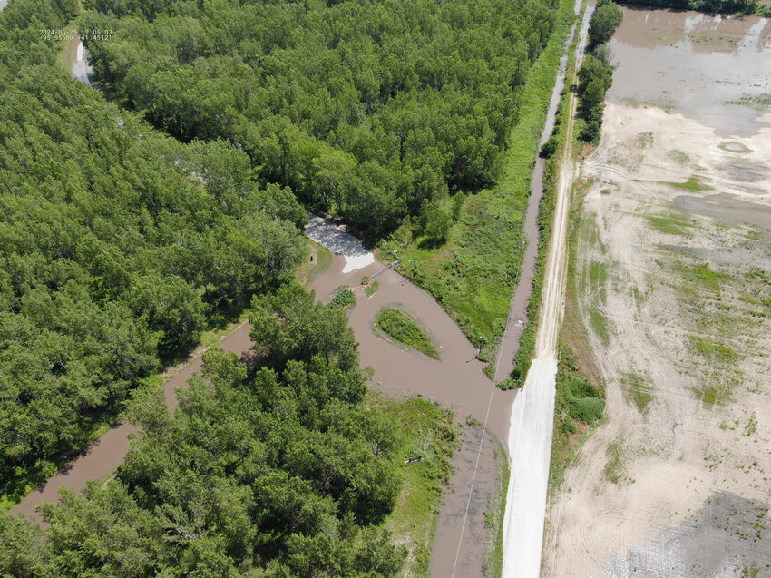
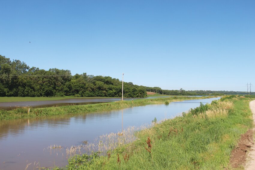
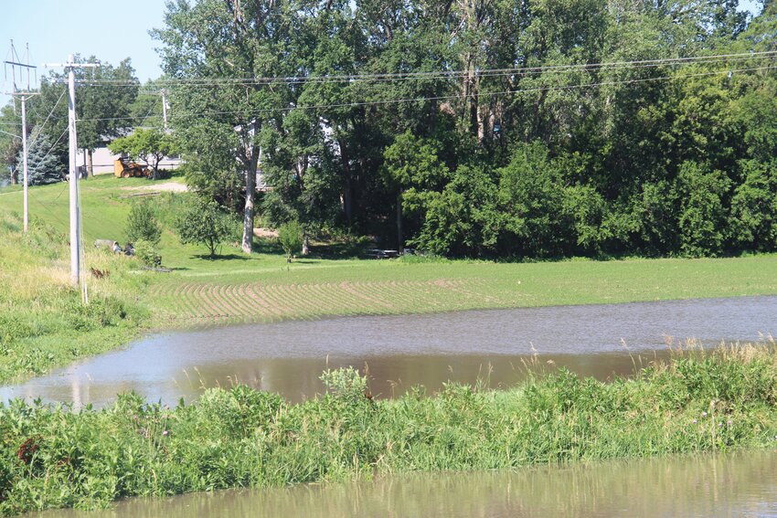
Some fields north of Blair were under water as of Wednesday morning, and Blair Assistant City Administrator Aaron Barrow estimated that Fish Creek had risen about 18 inches within the 24-hour period starting Tuesday morning.
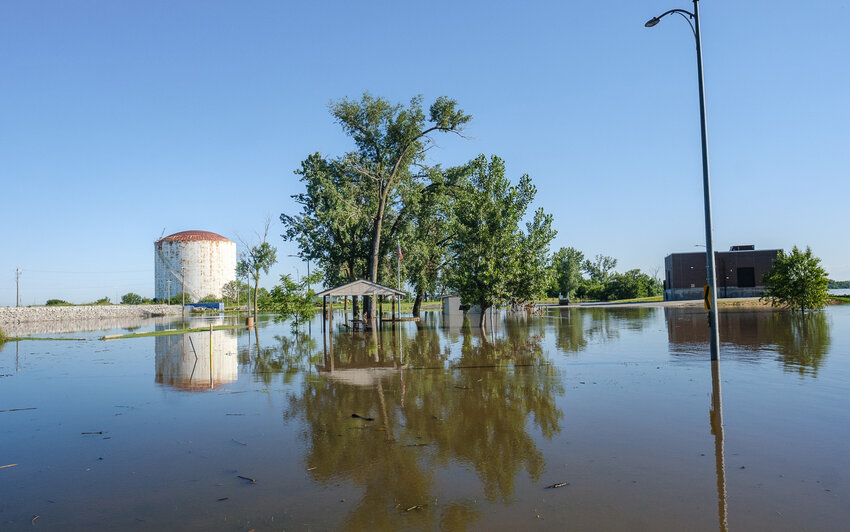
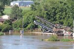
Northview Apartments, at 1215 N. 10th St. in Blair, had set up a flood tube around the property by Wednesday as a precaution as flooding in surrounding fields worsened during the week. The apartments were evacuated during the 2011 floods.
Even with flood waters creeping inland, Barrow said on Wednesday that he didn’t anticipate damage to city structures, and he was confident that infrastructure would continue to operate smoothly if the flood proceeded as forecasted.
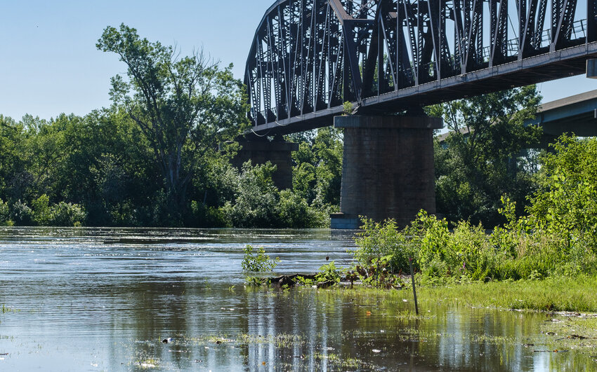
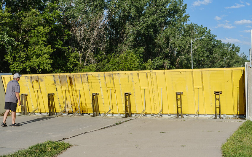
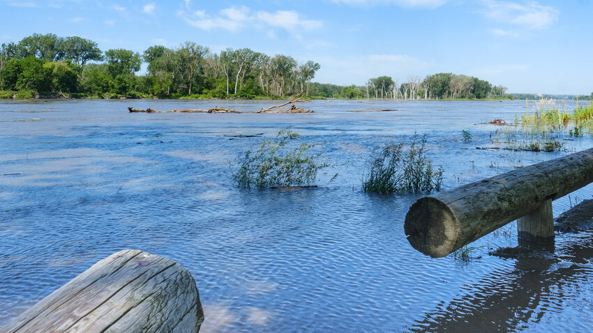
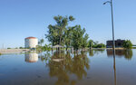
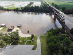
Fairview Drive east of Marina Drive remained closed in Blair as of mid-week. Barrow reported Wednesday morning that water had reached the parking lot of Optimist River Park and was approaching the levee that protects the water treatment plant, which is currently undergoing a multimillion-dollar expansion. The levee was expected to hold.
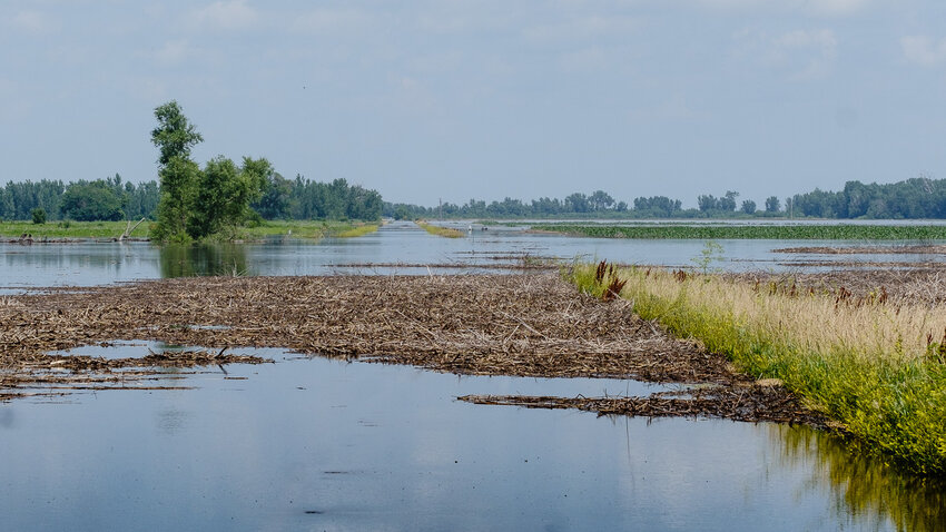
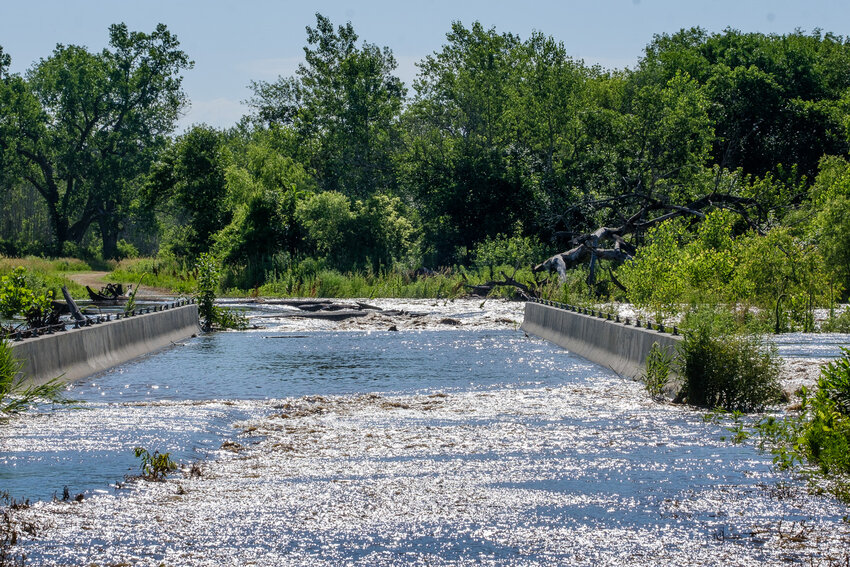
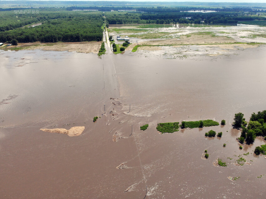
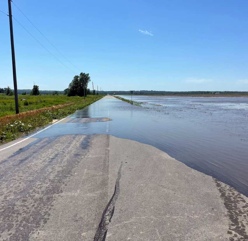
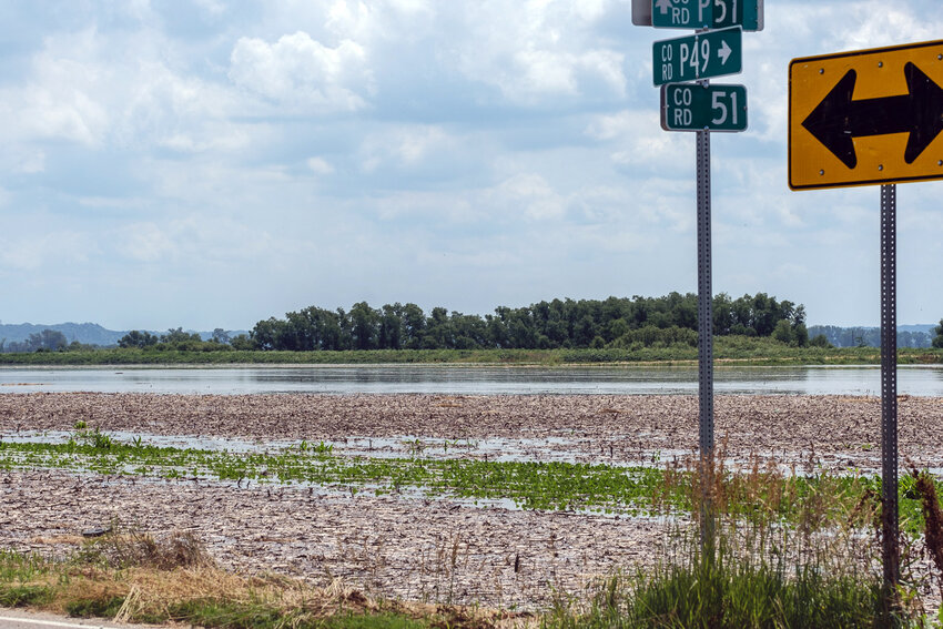
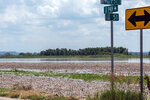
Near Fort Calhoun, County Roads 34, 47 and P51 remained underwater as of Wednesday morning. Blair and Washington County officials have said road closures will be lifted once it’s safe, but as of Wednesday morning they were not able to give a timeline. Forecasted rainfall over the weekend could prolong the closures.
Highway 30 is expected to remain open during the flood. On Wednesday morning, Washington County Roads Superintendent Dave Kruger said he hadn’t heard from his counterparts in Iowa about the need to close the highway on the other side of the bridge.
Harrison County officials met Wednesday morning to review river levels and projected crests.
According to Harrison County Emergency Management, the levee systems are being monitored continuously and confidence in the levee systems along the Harrison County portion of the Missouri River remains high. Rain that occurred Tuesday night was discussed, but did not seem to have an impact on the levee systems or officials’ confidence in the system.
Other greater Omaha road closures were diverting some traffic through Washington County via Highway 75 because portions of I-29 were closed earlier in the week. For the most up-to-date information on road closures call 511 or visit 511Nebraska.gov or 511ia.org.
Heavy rainfall over the past few weeks in northern Nebraska, South Dakota, Minnesota and northwest Iowa resulted in a surge of water moving into the Missouri River. Major flooding events occurred in northwest Iowa and the Sioux City area.
John Remus, head of the Missouri River Basin Water Management for the U.S. Army Corps of Engineers, said on Monday that no population centers along the Missouri River south of Sioux City were at risk.
Gov. Jim Pillen proactively declared a state of emergency Monday evening for all counties along the Missouri River, including Washington County, to ensure state funds and resources are immediately available if needed.
EMG Reporter Aaron Hickman contributed to this story.


